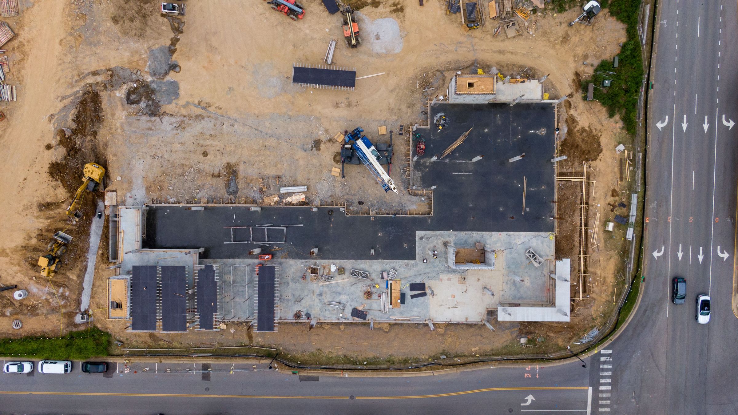
Precision Drone Mapping
Precision mapping, 3D modeling, and aerial imaging — captured safely, processed rigorously, delivered in the formats your engineers already use.
Every project flown by a licensed pilot, tied to ground control, and quality-checked before delivery.
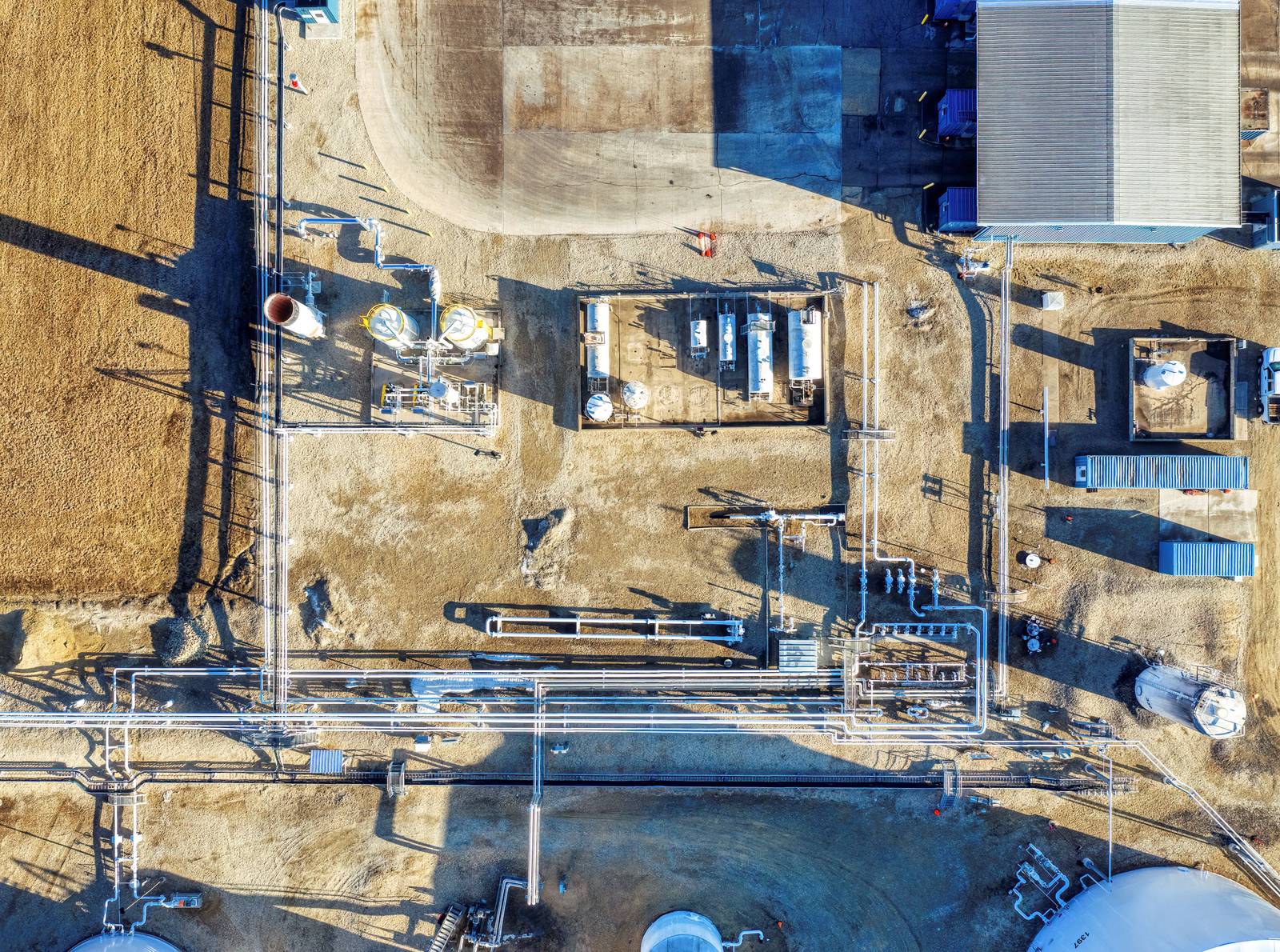
Orthomosaics and 3D terrain models, tied to ground control.
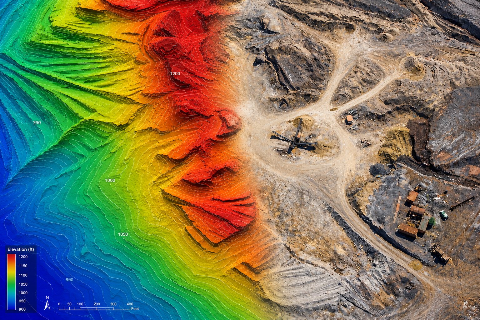
Learn more →Digital surface and terrain models for elevation analysis and volumetrics.
Learn more →Documented progress, every week. As-built comparison and earthwork verification.
Learn more →Defensible stockpile numbers and cut/fill calculations.
Learn more →Close-range visual inspection of bridges, towers, rooftops, and utilities.
Learn more →FAA compliance, airspace authorization, and drone program integration.
Learn more →Field Operations
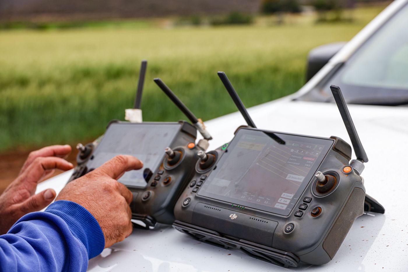
Licensed pilots fly RTK-equipped aircraft over measured ground control on documented flight plans, with airspace authorization secured before wheels-up. Accuracy requirements are set in writing before the first flight, and every mission can be repeated to the same standard.
Deliverables
GeoTIFF, LAS/LAZ, DXF/DWG, surfaces, and contours — projected to your coordinate system and datum, checked against control, and shipped with an accuracy report. Drop them into Civil 3D, ArcGIS, or Trimble without conversion gymnastics.
Progress tracking, earthwork verification, as-built comparison.
Transmission corridors, substations, solar and wind assets.
Bridge inspection, road corridors, asset condition assessments.
Property documentation, roof inspections, site analysis for development.
Tell us about your project — we'll respond within one business day.
Get in Touch