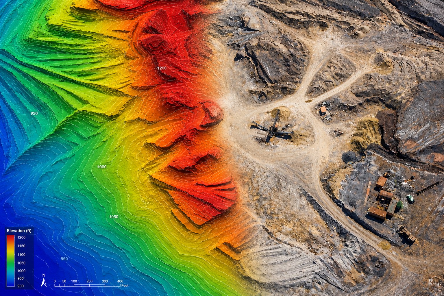
Flown by a Part 107 pilot who reads the deliverable spec before planning the flight. Every product below leaves with its ground sample distance, positioning method, coordinate system, and vertical datum stated — so the people downstream know what they're holding.
01 · Service
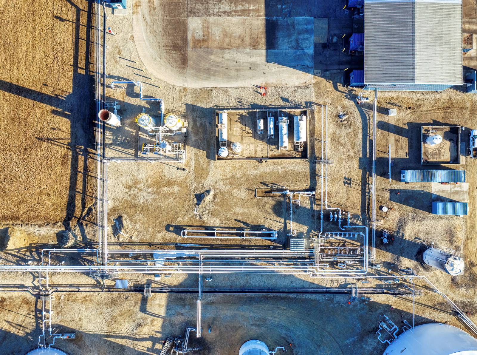
A current, measurable image of the site — flown at the resolution your deliverable actually needs.
Flight planning starts from the product, not the aircraft. The ground sample distance, overlap, and altitude come from what you need to resolve in the result, and the positioning approach comes from how tight the tolerance is. PPK post-processing is standard; ground control is added where the deliverable justifies checking the result against something independent.
02 · Service
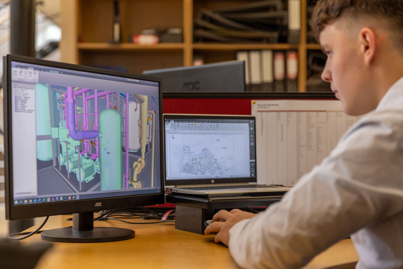
Surfaces that open in your design software and behave like surfaces.
A point cloud is raw material; a surface is the thing your engineers design against. Vegetation, equipment, stockpiles, and structures get classified out to produce a bare-earth model where that's what the work requires, and the deliverable arrives in a format Civil 3D or your platform of choice imports without a cleanup session first.
03 · Service
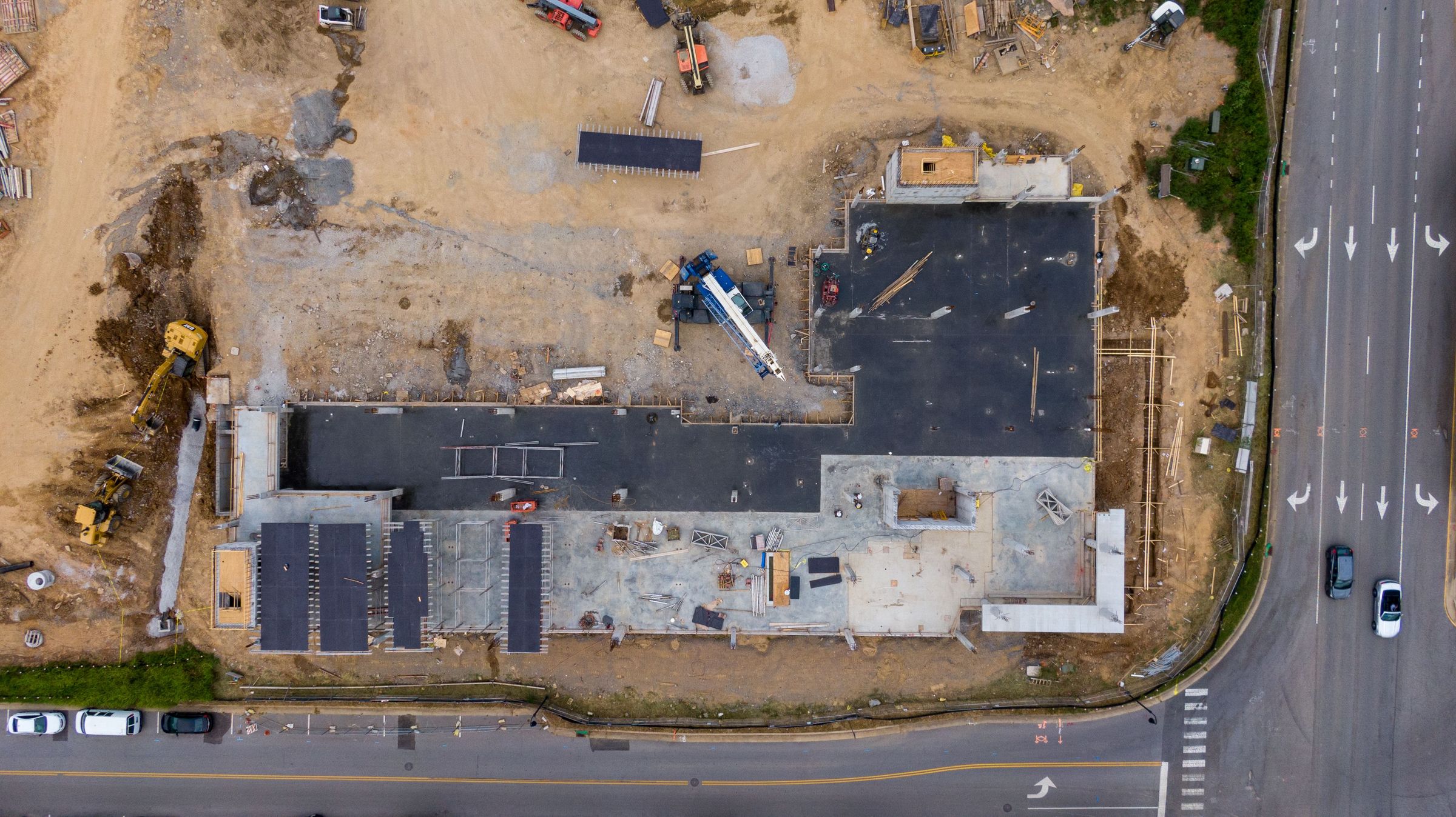
The same flight, flown the same way, on the schedule you set.
Progress captures are only useful if they compare. The flight plan is saved and reflown — identical lines, altitude, overlap, and camera settings — so what differs between two datasets is the site, not the pilot. Over a job that becomes a dated record of what was in place when, which is the record you want on hand before a delay claim or a change order turns into an argument.
04 · Service
Quantities with the basis of calculation written down.
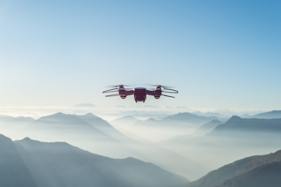
A volume number means nothing without the surface it was measured against. Every quantity we report names its basis — a design surface, a prior capture, or a fitted base plane — along with the method and the conditions of the flight. That's what makes the number defensible in a pay application or an inventory reconciliation instead of a figure someone has to take on faith.
05 · Service
Close-range imagery without a lift, a rope crew, or an outage on the calendar.
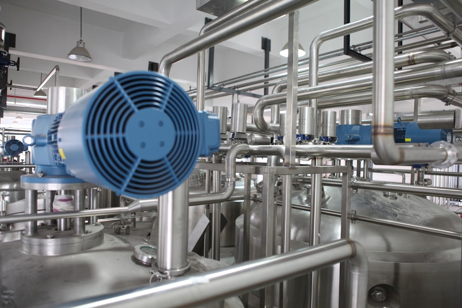
Most of what an inspection needs is a clear look at a specific place, and most of the cost of getting that look is access. Bridges, towers, roofs, stacks, substations, and solar arrays get captured at close range from the air — faster to mobilize than a lift, and with nobody standing where a fall or an energized component could reach them.
06 · Service
Files your team can open, named the way your project folder already is.
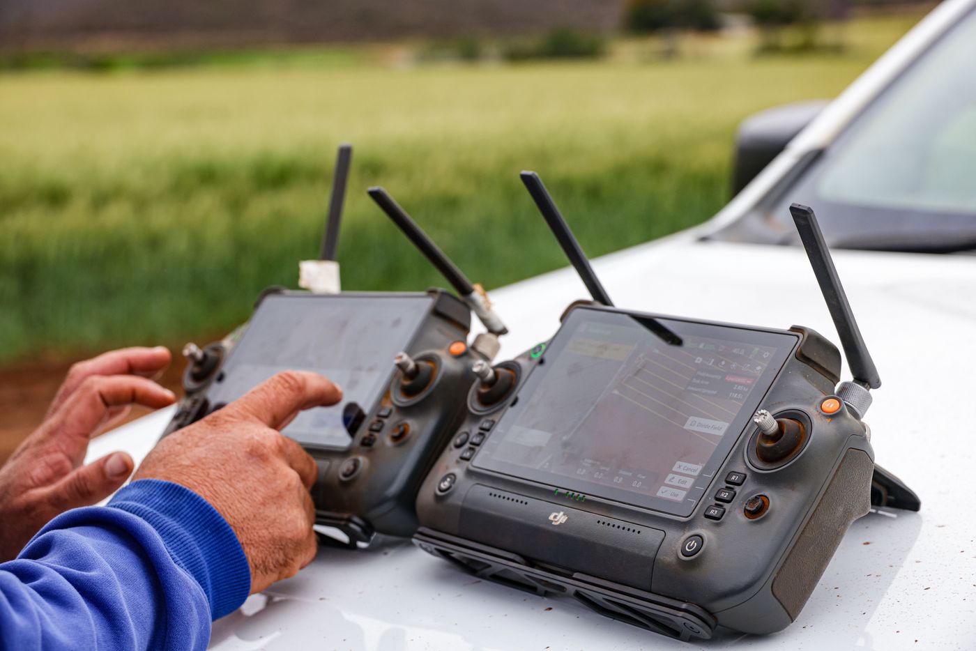
Half the value of a dataset is lost when nobody downstream can find or open it. Deliverables arrive in the formats your engineering and project management tools read natively, in the coordinate system you work in, with a short QC report stating what was flown, how it was positioned, and what the result was checked against. Data retention and access follow whatever your project requires.
Also available
Companies that want this capability in-house don't need a vendor on every schedule — they need a program. We build those too: business case, equipment specification, written procedures, the risk and safety case, Part 107 training on your own site, and recurrent support as the regulations change.
See the Consulting WorkA location, what you need out of it, and the format it has to land in. You'll get a scope, a price, and an honest read on what a flight can and can't hold — usually within one business day.
Request a Quote